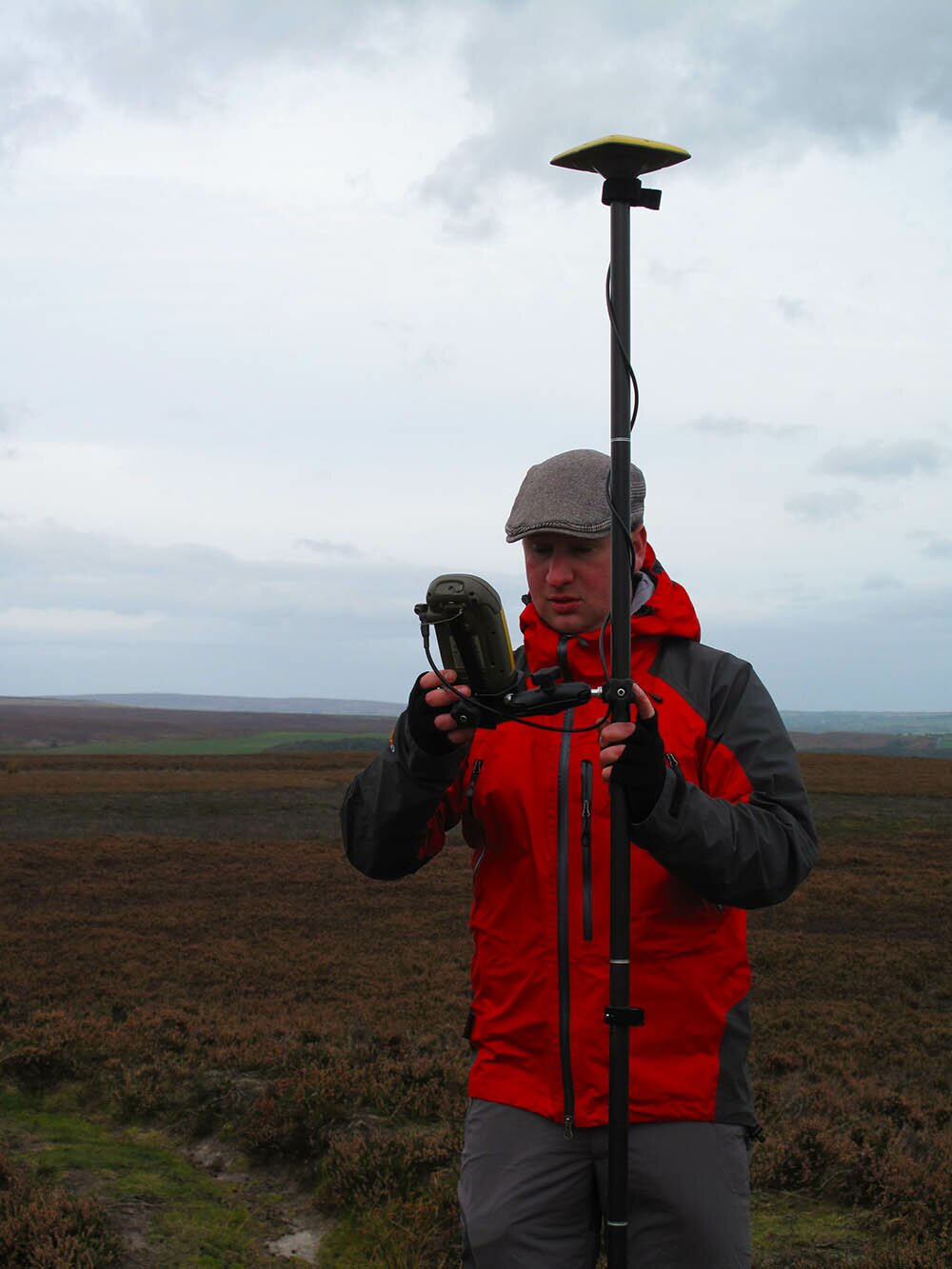
NAA has expertise in all types of land-based archaeological and historical survey to provide baseline heritage data to inform the management and use of large landscape areas. We carry out geo-referenced surveys for National Park and estate authorities, for moorland restoration schemes, and surveys of woodlands and coastlines. We provide a broad array of outputs, such as transcriptions of digital and cartographic data, a range of photographic and video records, and GIS databases to assist your land management decisions.
Our services include
- management plan survey
- identification walkover survey
- condition survey
- topographic/earthwork survey
- LiDAR transcription
- aerial drone survey
- photographic survey
- photogrammetric survey
Our specialist products include
- illustrated reports
- gazetteers
- sensitivity plans
- waypoints
- hachure plans
- digital terrain models
- GIS databases
- video/fly-throughs
- 3D modelling